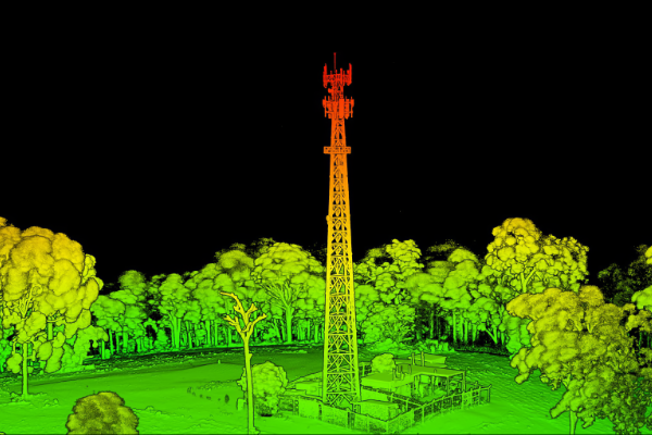
Drone LiDAR Technology
Looking for Drone LiDAR Technology solutions?
This advanced technology allows for precise aerial mapping, topographic surveys, and various applications in industries like railway, road, construction, and environmental monitoring.
Drone LiDAR Technology
LiDAR Functionalities
- Generate high density 3D point cloud.
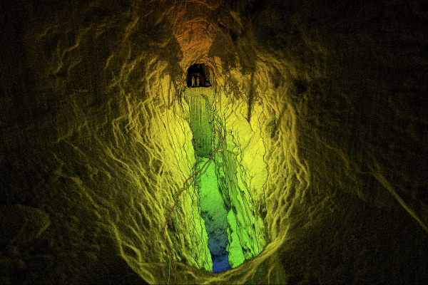
- Under bridge clearance analysis
- Line marking identification
- Erosion monitoring
LiDAR Capabilities
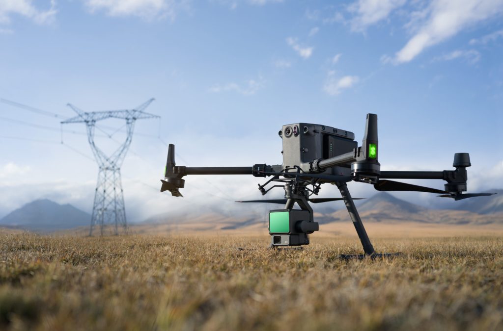
- High performance LiDAR device can be attached on UAV, ground vehicle or handheld.
- Operation beyond GPS-denied environment.
- Up to 2 cm vertical accuracy with GCP.
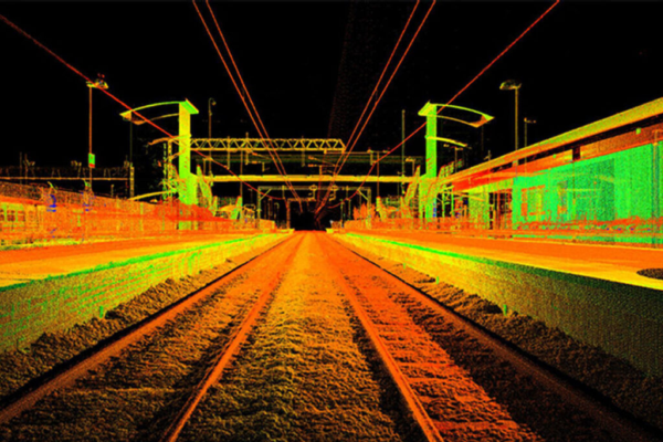
Railway and Metro
Harness the power of Drone LiDAR technology for precision mapping and monitoring of railway and metro networks. Our advanced LiDAR systems offer high-resolution data that supports maintenance, safety inspections, & infrastructure management. By providing accurate topographical & structural information, we ensure enhanced efficiency & safety in railway and metro operations.
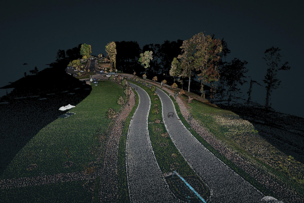
Road and Highways
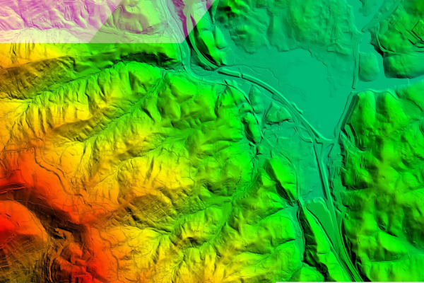
Land
Mining
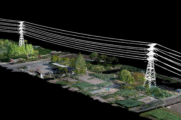
Powerline
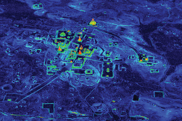
Archaeology
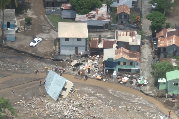
Disaster Risk Management
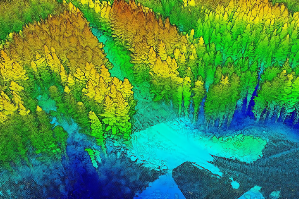
Forestry
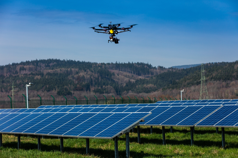
Solar Power
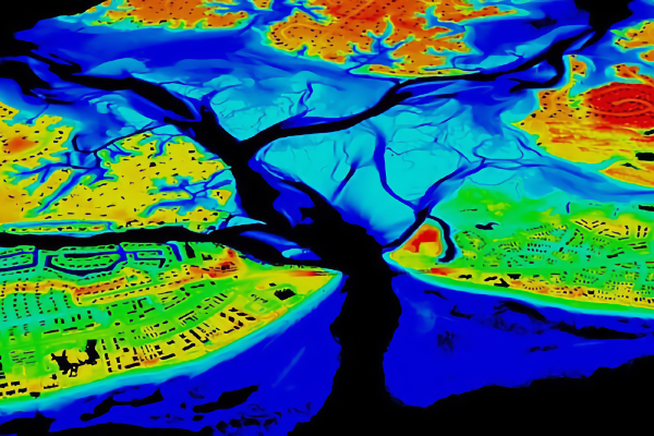
Water Resources and Irrigation
Enhance water resources management & irrigation systems with our Drone LiDAR technology. We provide detailed elevation models and hydrological mapping, supporting efficient water distribution, flood risk assessment, and irrigation planning. Our solutions help improve water management & ensure sustainable use of water resources.
Oil and Gas