Transforming Tomorrow with Innovation and Sustainability through GIS Platform

At Graphias Solutions Pvt. Ltd., we are pioneers in integrating cutting-edge GIS and Remote Sensing technology with environmental stewardship and engineering excellence. Our mission is to drive progress through innovative solutions that enhance the way we interact with our world.

Commitment to Conservation and Innovation

We prioritize the environment through GIS and Remote Sensing technology with eco-friendly engineering practices. Our commitment to conservation and innovation ensures sustainable solutions for a brighter, greener future.

Technologies & Services

Drone based LiDAR

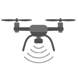
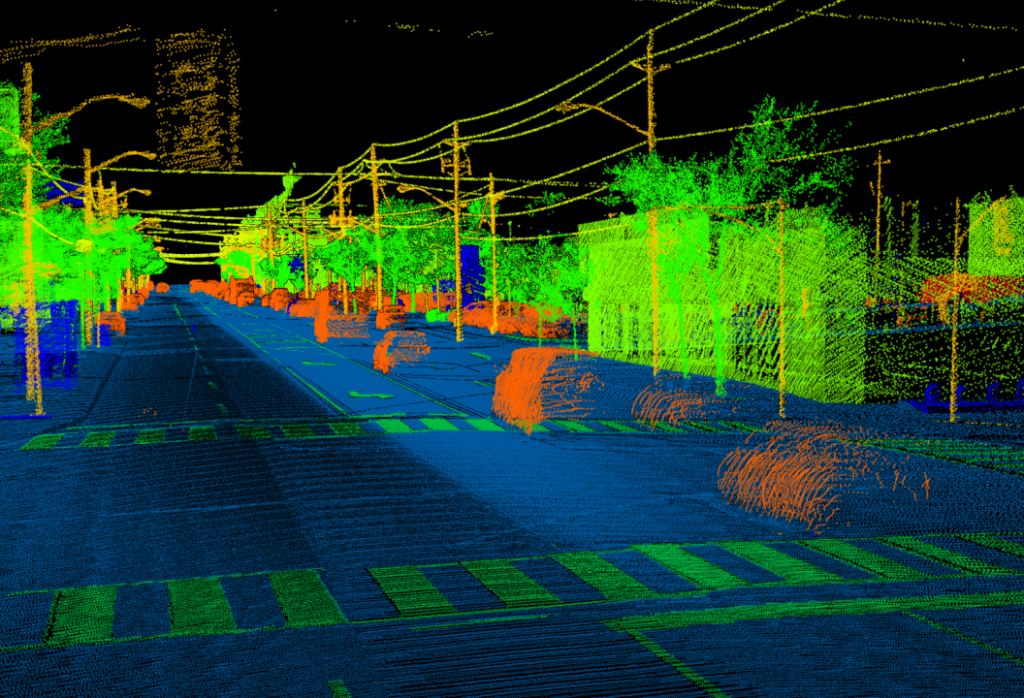
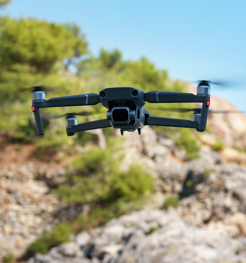
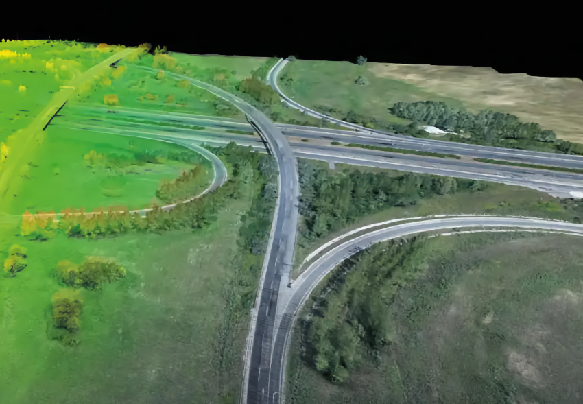
Aerial mapping and surveying with drone- mounted LiDAR for precise topographical data.

Ground Penetrating Radar (GPR)

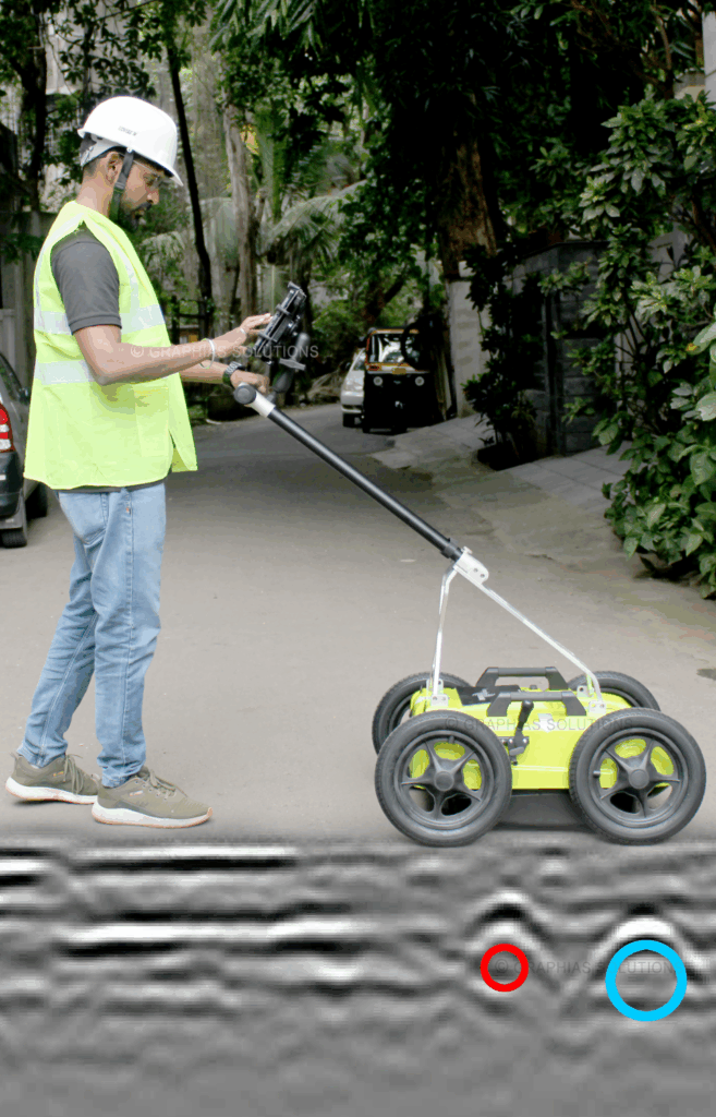
Non-destructive subsurface imaging detecting underground utilities.

Terrestrial LiDAR Scanner

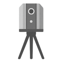
High-precision ground-based scanning for detailed 3D documentation of structures.

Underwater ROV

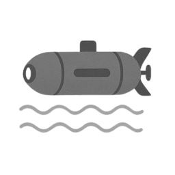
Remote Operated Vehicle used for underwater inspection, mapping, and data collection.

REVIT - BIM

BIM services with REVIT for detailed 3D models in construction and facility management.

Architectural Services

Innovative and sustainable architectural design solutions blending functionality, aesthetics, and client vision.

Civil Engineering Solutions

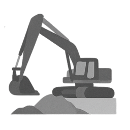
Comprehensive civil engineering solutions ensuring structural integrity, sustainability, and project efficiency.

Environmental Solutions

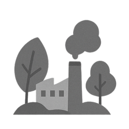
Integrated environmental solutions supporting sustainability, impact assessment, and ecological balance.

Innovation

We leverage the latest technologies and methodologies to deliver superior solutions tailored to meet the unique challenges of our clients.

Sustainability

We integrate eco-friendly practices into every project, ensuring a harmonious balance between development and environmental care.

Excellence

Our team of experts is dedicated to maintaining the highest standards of quality and performance in all our services. 

Why Choose Graphias?

  • Cutting-Edge Technology: Stay ahead with our GIS Technology with advanced drone and LiDAR solutions, providing accurate data and innovative insights.
  • Holistic Approach: Our integrated services in drones, environmental consultancy, and civil engineering offer comprehensive solutions for diverse projects.
  • Client-Centric Focus: We prioritize your needs, working closely with you to understand your vision and deliver customized solutions that achieve your goals.

Our drone services streamline the planning process, saving you valuable time and labor costs.

Join Us in Shaping the Future

Ready to embark on a journey of innovation and sustainability?
Partner with Graphias Solutions Pvt. Ltd. and experience the difference of working with a team that is passionate about creating a better tomorrow.

Project Done
0 +
Happy Clients
0 +
Years of Experience
0 +

Explore Our Expertise

Discover how our specialized team combines advanced technology with unparalleled expertise to deliver exceptional results in drone, environmental, architectural and civil engineering services. Let us turn your vision into reality with precision and innovation.

Our advanced drone services offer unparalleled precision and efficiency for a wide range of applications. From aerial surveys and inspections to agricultural monitoring and cinematic filming, our fleet of drones and experienced pilots ensure accurate data collection and high-resolution imagery. We utilize cutting-edge technology to provide actionable insights and solutions that meet the specific needs of our clients.
At Graphias Solutions Pvt. Ltd., we specialise in advanced Ground Penetrating Radar (GPR) surveys to detect, locate, and map underground utilities with precision. Our cutting-edge technology ensures safe excavation, prevents costly damages, and supports smarter infrastructure development.
Our civil engineering team brings innovative and practical solutions to infrastructure and construction projects. We specialize in designing, managing, and overseeing projects that range from urban development to transportation systems. With a focus on safety, efficiency, and sustainability, we ensure that every project we undertake meets the highest standards of quality and performance.
At Graphias Solutions, we believe in the importance of preserving our natural environment. Our environmental consultancy services include comprehensive impact assessments, sustainability planning, and regulatory compliance support. Our team of environmental experts works closely with clients to develop and implement strategies that minimize environmental impact and promote sustainable development.

Aerial LiDAR Based Output

Aerial Lidar (Light Detection and Ranging) technology is an airborne mapping tool that captures high-resolution 3D point cloud data of the Earth’s surface. The output of Aerial Lidar-based data is a detailed, three-dimensional representation of the terrain, including vegetation, buildings, and other structures.

Ground Penetrating Radar (GPR) Services

At Graphias Solutions Pvt. Ltd., we specialise in advanced Ground Penetrating Radar (GPR) surveys to detect, locate, and map underground utilities with precision. Our cutting-edge technology ensures safe excavation, prevents costly damages, and supports smarter infrastructure development.

Blogs & Articles

Stay well informed and entertained with our well-researched and thought-provoking blog posts.
Harnessing Science for Better Stormwater Management in Indian Cities
03Jul

Harnessing Science for Better Stormwater Management in Indian Cities

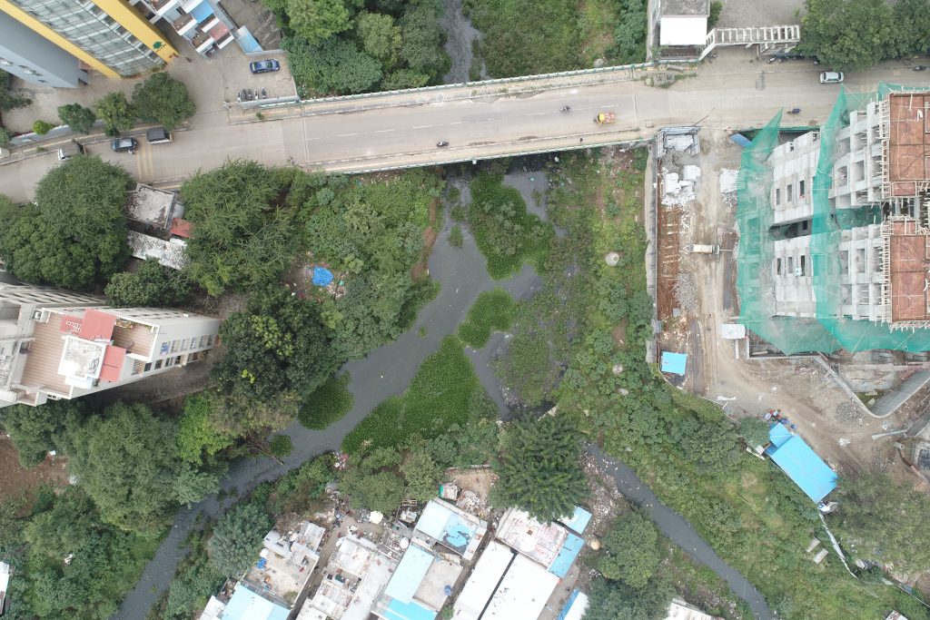
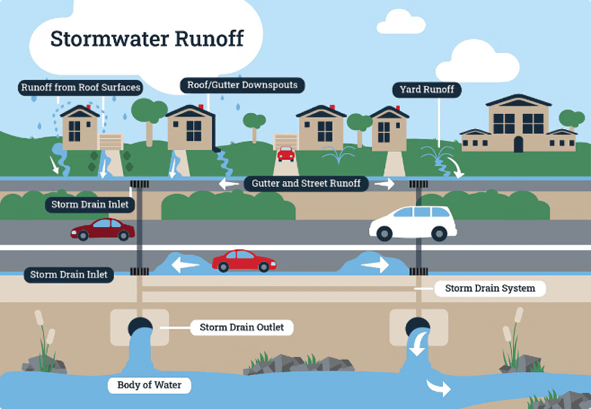
Stormwater management is becoming an increasingly critical issue for Indian cities, which are grappling with…

Unlocking the Potential of Infrastructure Mapping with Aerial LiDAR
15Jun

Unlocking the Potential of Infrastructure Mapping with Aerial LiDAR

In the ever-evolving world of infrastructure development, precision, efficiency, and reliability are paramount.

Restoring Streams: A Crucial Step for Controlling Urban Water Pollution
22May

Restoring Streams: A Crucial Step for Controlling Urban Water Pollution

Urban areas, with their dense populations and extensive infrastructure, face significant challenges