Unlocking the Potential of Infrastructure Mapping with Aerial LiDAR
admin
June 15, 2024

What is Aerial LiDAR?
Key Benefits of Aerial LiDAR for Infrastructure Mapping
1. High Accuracy and Precision
2. Rapid Data Collection
3. Accessibility to Difficult Terrain
4. Detailed and Versatile Data
5. Cost-Effectiveness
6. Environmental Impact
Real-World Applications of Aerial LiDAR in Infrastructure Mapping
The versatility of Aerial LiDAR makes it suitable for various infrastructure applications, including:
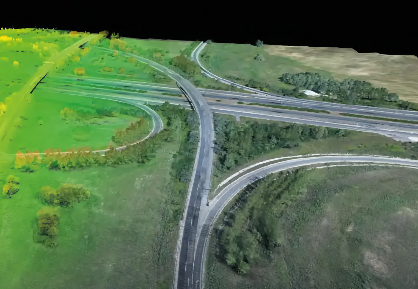
- Road and Highway Design: LiDAR data helps in designing efficient road networks, identifying potential obstacles, and planning maintenance activities.
- Railway Construction: Accurate terrain mapping ensures safe and efficient railway construction, reducing the risk of alignment errors.
- Urban Planning: Detailed 3D models assist in city planning, infrastructure development, and monitoring urban growth.
- Utility Management: LiDAR aids in mapping utility networks, such as power lines and pipelines, ensuring proper maintenance and minimizing outages.
Aerial LiDAR is revolutionizing infrastructure mapping by providing precise, rapid, and versatile data that enhances project efficiency and accuracy. Its ability to survey challenging terrains, coupled with its cost-effectiveness and environmental benefits, makes it an invaluable tool for engineers, planners, and developers. As the technology continues to advance, the scope of Aerial LiDAR in infrastructure mapping will only expand, paving the way for smarter, more resilient infrastructure solutions.
Embrace the future of infrastructure mapping with Aerial LiDAR and unlock the full potential of your projects. At Graphias Solutions, we are committed to leveraging cutting-edge technologies to deliver superior results for our clients. Contact us today to learn how Aerial LiDAR can transform your next infrastructure project.
